On this page
Neighboring countries
Neighbor labels name the countries around your area, placed inside each country's visible part. They need an area.
What to show#
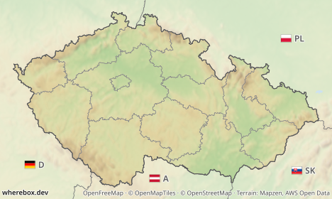
neighbors picks what each label shows: the country name, its international vehicle registration code (D, A, SK, PL), its flag, or a flag combined with the code or the name.
/v1/map.pngGET /v1/map.png?area=Czechia&poi=place:Chřiby|marker:triangle&w=468&h=280&neighbors=flag+code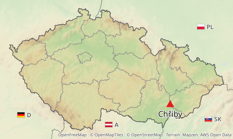
/v1/map.pngGET /v1/map.png?area=Czechia&w=468&h=280&neighbors=name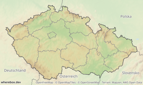
Both flag+code and flag code work; a literal + in a query string is read as a space, and the server treats the two the same. neighbors=false turns labels off. Values: neighbors.
Which countries get a label is neighborwhich: touching (the default) labels countries that border the area, visible labels every other country in the frame too. Size, color and uppercase names are neighborsize, neighborcolor, neighborupper.
/v1/map.pngGET /v1/map.png?area=iso:CZ-72&w=420&h=320&padding=0.3&neighbors=name&neighborwhich=visible&neighborupper=true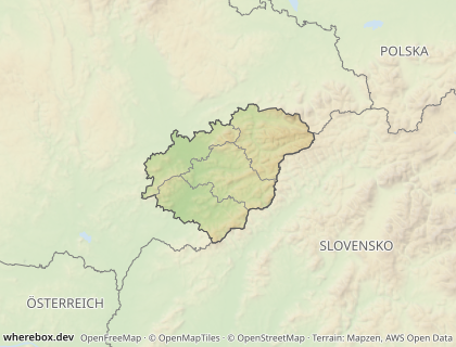
When a label does not fit#
A label has to fit inside the visible part of its country. When a frame is tight, a neighbor such as Austria may show only a sliver. neighborfit decides what happens:
| Fit | Behavior |
|---|---|
extend (default) |
grows the image on the side nearest the country until the label fits |
shrink |
reduces the label text |
drop |
omits the label |
extend is the one to understand: the result can be larger than the w and h you asked for. The real size is in the response headers X-Image-Width and X-Image-Height, in pixels (already multiplied by scale). Read them if your layout depends on the dimensions, or use shrink or drop for a guaranteed size.
/v1/map.pngGET /v1/map.png?area=Czechia&w=468&h=270&padding=0&neighbors=flag+name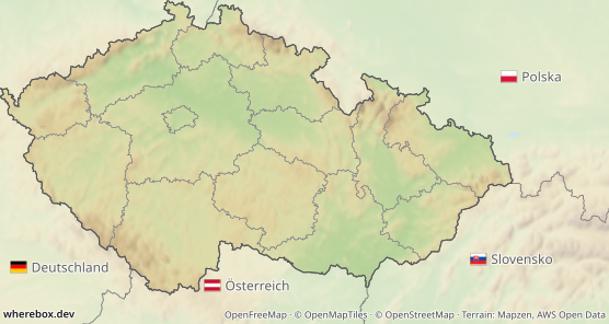
With padding=0 the country touches the edges, so the neighbors' labels have nowhere to go and the canvas grows. The same request that must keep its size:
/v1/map.pngGET /v1/map.png?area=Czechia&w=468&h=270&padding=0&neighbors=flag+name&neighborfit=drop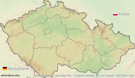
In a browser, give the <img> the size you requested and let the headers tell you when you need to adapt. With ?response=json on POST, the meta.neighbors object lists labeled, dropped and how many pixels each side was extended.
Parameters: neighborfit, neighborwhich.
Language#
Names are local by default: Deutschland, Polska, Slovensko, the way Wikipedia locator maps do it. lang switches the label language (a two- or three-letter code):
/v1/map.pngGET /v1/map.png?area=iso:CZ-72&w=420&h=320&neighbors=name&lang=en&neighborupper=true&preset=dark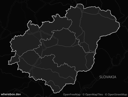
See lang.
The same in POST, using the nested neighbors object:
/v1/map{
"area": "Czechia",
"neighbors": { "show": "flag+code", "which": "touching", "fit": "shrink", "size": 12 },
"lang": "en",
"width": 468,
"height": 280
}