On this page
Recipes by use case
Short requests for things people build with Wherebox. Every recipe is a plain GET, so it works as an <img src> in an email, a page or a spreadsheet. Any country works as an area; finer areas such as regions and cities need the OSM import (Locator maps).
Newsroom: where is it happening?#
A country with one marked spot and a headline, for a breaking-news story.
/v1/map.pngGET /v1/map.png?area=Iceland&poi=63.84,-22.43|marker:triangle|label:Grindavík&title=Eruption+near+Grindavík&w=600&h=400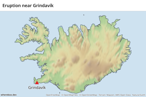
Booking email: the flight at a glance#
A great circle between two airports, labelled with their codes. geodesic is the default profile, so no routing engine is needed (Routes).
/v1/map.pngGET /v1/map.png?from=38.77,-9.13&to=40.64,-73.78&profile=geodesic&fromlabel=LIS&tolabel=JFK&w=600&h=300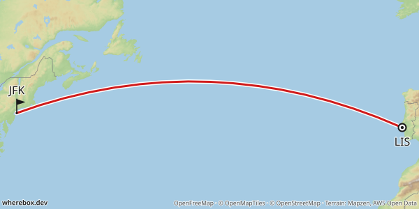
Listing: a hotel and what is near it#
A star for the property and pins for the sights guests ask about. With no area, the map frames the points.
/v1/map.pngGET /v1/map.png?poi=41.3917,2.1649|marker:star|label:Hotel&poi=41.378,2.192|label:Barceloneta+beach&poi=41.4036,2.1744|label:Sagrada+Família&preset=light&w=600&h=400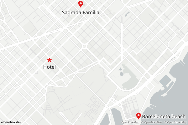
Travel: an itinerary across a country#
Highlight the country and draw the legs in order. via adds stops, and straight connects them without a routing engine.
/v1/map.pngGET /v1/map.png?area=Japan&bounds=131.5,32.8,141.5,37.6&from=35.68,139.76&via=35.01,135.77&to=34.69,135.50&profile=straight&fromlabel=Tokyo&tolabel=Osaka&poi=35.01,135.77|label:Kyoto&w=600&h=400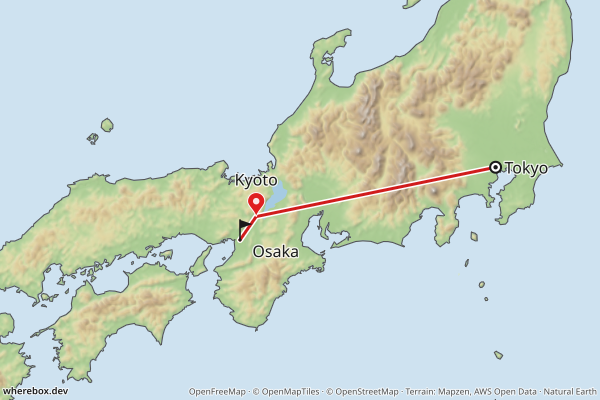
AI agent: answering "where is Bhutan?"#
An agent can answer a geography question with one image URL. Neighbor labels give the context a bare outline lacks, and preset=dark suits dark chat UIs (Neighboring countries).
/v1/map.pngGET /v1/map.png?area=Bhutan&bounds=84,22.5,97,31&neighbors=flag+name&lang=en&preset=dark&w=600&h=400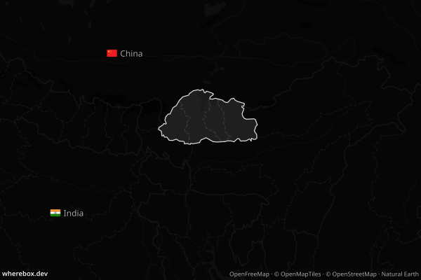
Report: field offices in a country#
Several labelled points inside the area, with a title for the page header (Points and labels).
/v1/map.pngGET /v1/map.png?area=Kenya&poi=-1.286,36.817|label:Nairobi&poi=-4.043,39.668|label:Mombasa&poi=-0.092,34.768|label:Kisumu&title=Field+offices&w=600&h=450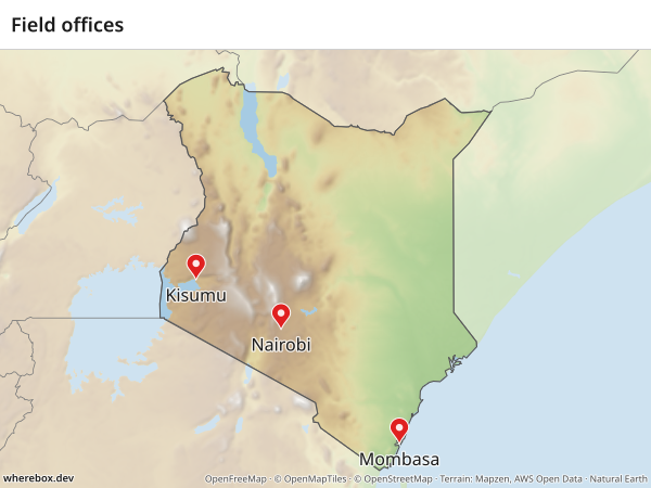
Social card: share image#
An Open Graph image is 1200x630. Put the headline in the title band and mark the place. bounds frames mainland Portugal; without it the frame would include the Azores and Madeira.
/v1/map.pngGET /v1/map.png?area=Portugal&bounds=-10.5,36.8,-5.5,42.3&poi=38.72,-9.14|marker:star|label:Lisbon&title=A+weekend+in+Lisbon&preset=dark&w=1200&h=630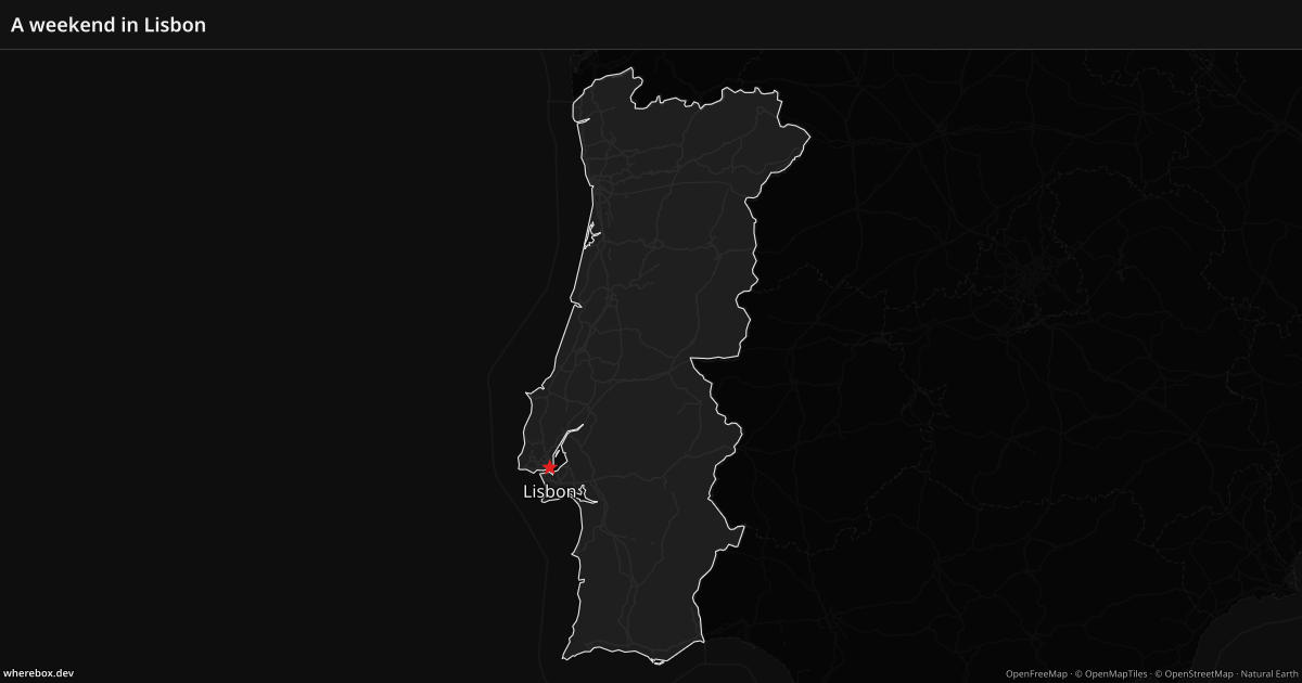
Spreadsheet: one template, many countries#
Keep the URL in one cell and the country name in another. A formula such as ="https://api.example.com/v1/map.png?area="&A2&"&neighbors=name&w=600&h=400" fills area={country} for each row, and =IMAGE(...) in Google Sheets turns it into a picture. Any country name or iso: code works.
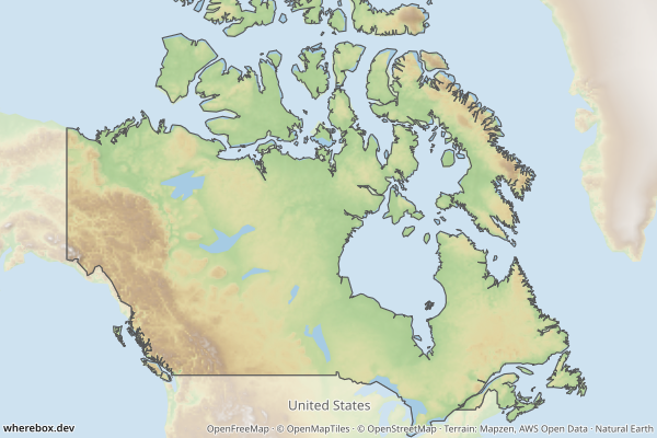
/v1/map.pngGET /v1/map.png?area=Canada&bounds=-141,41.5,-52,76&neighbors=name&w=600&h=400